8,000 parcels
City of New Port Richey
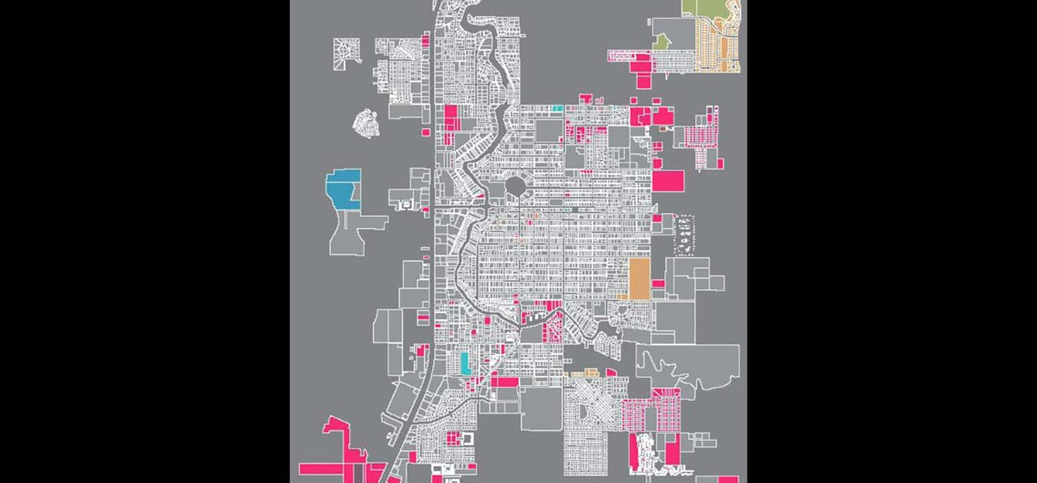
The City of New Port Richey wanted to verify its GIS zoning database for accuracy and consistency. Halff began by setting up a carefully crafted data structure to compare the findings with the City’s data.
Halff then reviewed more than 250 zoning-related ordinances recorded by the City since 1972. For each ordinance, Halff identified the parcel via its legal description and recorded the parcel number, ordinance number, ordinance date and decreed zoning in a database. This resulted in the identification of more than 1,600 unique parcels (approximately 20 percent of the City’s parcels), of which more than a third had been referred to by multiple ordinances.
Halff used the designed database to cross-reference the parcels with the ordinances chronologically. The team analyzed the results for differences with the current zoning and land use plan. Halff, working with the City’s legal staff, developed a recommended approach to resolving the differences. Finally, Halff provided the City with a new parcel/zoning GIS database design, which provides an ordinance history for each parcel and allows for zoning ordinance changes to be recorded more easily.
Halff Services
Involved
- Geospatial
- Geographic Information Systems


Let’s Connect
Ready to work with Halff? Simply fill out the form to be directed to the best person at Halff to discuss your interests.